In construction projects, keeping a watchful eye on progress, timelines, and potential hurdles is paramount. Traditional methods of construction monitoring often fall short, leading to delays, misunderstandings, and increased costs. This is where satellite imagery steps in, offering a game-changing perspective. In this blog post, we’ll explore five ways in which satellite imagery can significantly benefit your construction project.
1. Real-Time Progress Tracking:
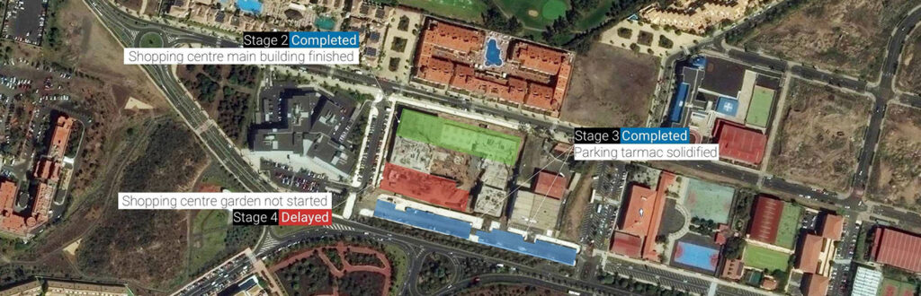
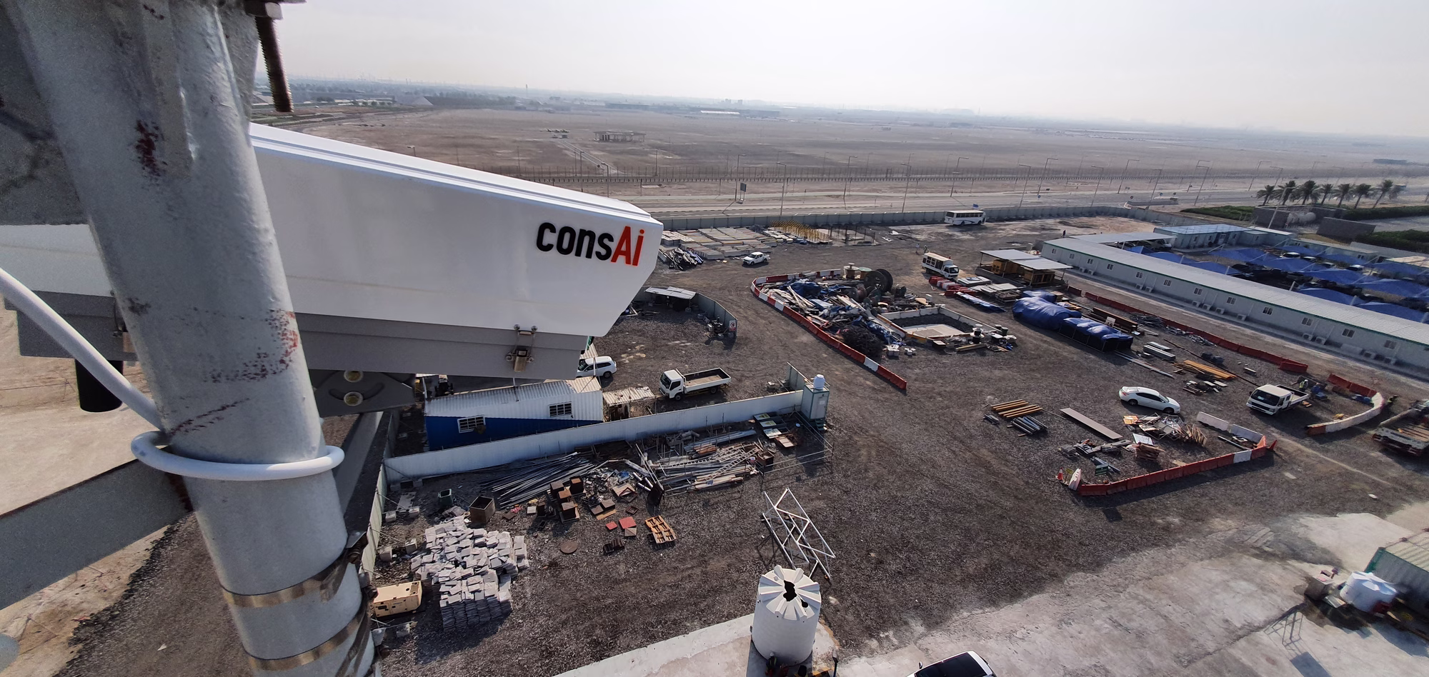
Similar to what a Time-lapse camera can provide, satellite imagery provides a near-real-time overview of your construction site. This means you can visually monitor progress consistently over an expansive area. No more relying solely on manual inspections or surveys, which are time-consuming and limited in scope. With regular updates, you’ll ensure all stakeholders stay on the same page, reducing miscommunication and enabling timely decision-making.
2. Cost-Effective Wide-Area Monitoring:
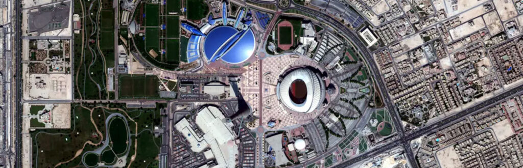
Secondly, large construction projects spanning vast areas can be costly to monitor. Satellite imagery offers a cost-effective solution by covering extensive territories in a single pass. For instance, TerraSAR-X imagery can capture standard scenes of 30 km x 50 km in one go. This means you can do more with fewer personnel, as dense time series of images enable automated construction monitoring.
3. Environmental Impact Assessment:
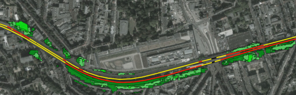
Construction’s impact on the environment is a critical concern. Satellite imagery comes to the rescue by enabling the detection and quantification of environmental changes caused by construction activities. Variations in indices like the Normalized Difference Vegetation Index (NDVI) can reveal factors like dust deposition on vegetation. Moreover, satellite images help map land use and land cover changes, aiding in environmental impact assessments over time.
4. Stability Analysis of Infrastructure:
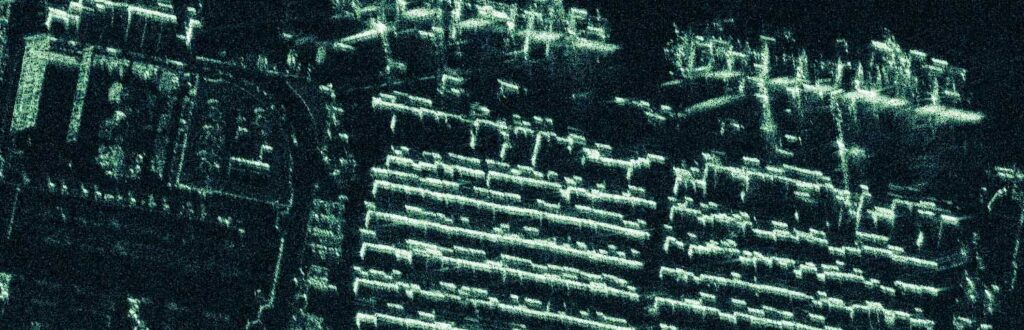
Ensuring the stability of your construction and surrounding infrastructure is paramount. Satellite imagery, especially Synthetic Aperture Radar (SAR), plays a crucial role in stability analysis. SAR can detect millimeter-scale ground deformation during tunneling activities and monitor the movement of structures. With its comprehensive monitoring dataset and large area coverage, SAR offers early detection capabilities, reducing risks to infrastructure.
5. Moisture Content Monitoring:

Changes in soil moisture levels can jeopardize construction sites. Satellite imagery measures backscattered radar signals, which correlate with surface moisture content. This facilitates wide-area retrieval of soil moisture content at multiple measurement points without extensive fieldwork. Monitoring moisture fluctuations enables early detection of potential areas of failure, preventing infrastructural damage and costly repairs.
Finally Incorporating satellite imagery into your construction project can significantly enhance progress monitoring, reduce costs, and improve environmental stewardship. It provides a fresh perspective, allowing you to make informed decisions and maintain the stability and safety of your construction site. So, whether your project is small or spans kilometers, consider harnessing the power of satellite imagery for construction excellence.
Read more about satellite imagery in this Wikipedia article